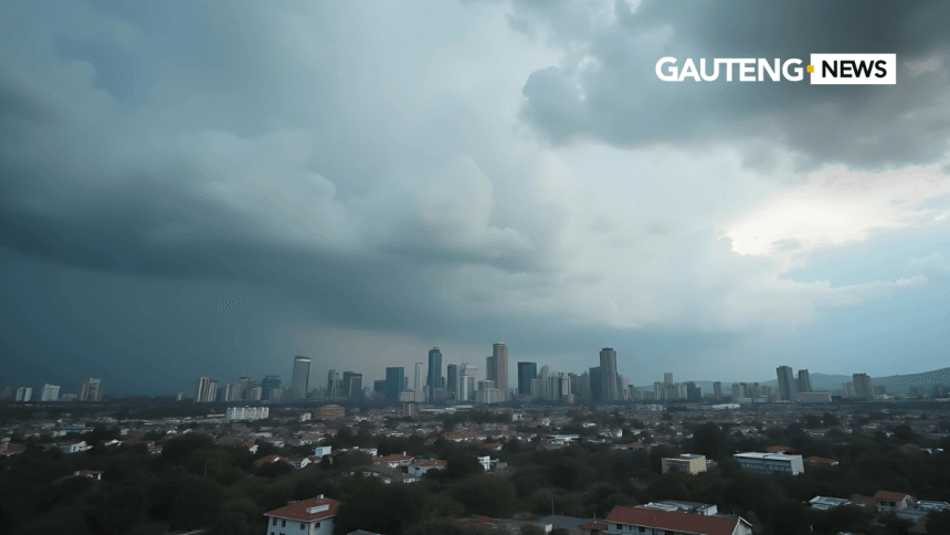
A cold front warning has been issued by the South African Weather Service (SAWS), affecting large parts of the country. The weather system is expected to bring heavy rainfall, snow in high-altitude areas, freezing temperatures, and strong winds.
This warning applies to most provinces, including the Western Cape, Eastern Cape, Free State, Northern Cape, KwaZulu-Natal, and Gauteng, and will remain in effect throughout the week.
CHECK OUT: Today’s Weather Forecast – 15 July 2025
What’s Behind the Cold Front Warning?
The cold front warning follows a polar air mass moving across the country, triggering unstable weather patterns. According to SAWS, this system will result in:
- Heavy rain in the Western and Eastern Cape
- Snowfall in high-lying inland areas
- Sub-zero nighttime temperatures across interior provinces
- Strong winds and rough seas in coastal regions
“This is a significant winter system. We expect disruptive conditions in several provinces,” said SAWS meteorologist Lehlohonolo Thobela.
Provinces Affected by the Cold Front Warning
Western Cape
The province is already experiencing stormy conditions. Cape Town recorded over 40 mm of rainfall in less than 24 hours. Coastal towns face gusty winds, rough seas, and possible localised flooding. The City of Cape Town has activated emergency shelter services for affected residents.
Eastern Cape
Snow has been reported in towns such as Barkly East and Maclear. The Eastern Cape highlands face slippery roads and reduced visibility. Residents are advised to avoid travel in mountainous regions.
Free State and Northern Cape
These regions are under threat from widespread frost and icy winds. Overnight temperatures are expected to fall below 0°C. Farmers have been urged to secure livestock and crops.
Gauteng
Johannesburg and Pretoria are experiencing cloudy, windy, and cold conditions, with maximum daytime temperatures between 9°C and 12°C. While significant snow is not expected, light showers and strong winds could still disrupt daily routines.
KwaZulu-Natal
Southern and interior regions such as Underberg and Kokstad may receive light snowfall. Durban and the coastal belt face strong southwesterly winds and cooler-than-average temperatures.
Public Safety Guidelines
The cold front warning has prompted several safety precautions from SAWS and provincial disaster management units. Here’s what you should do:
- Stay indoors during periods of intense rain, wind, or snowfall.
- Dress warmly in layers to avoid hypothermia.
- Protect animals by ensuring they have warm shelter and food.
- Avoid driving in snowy or slippery areas.
- Stay informed by following SAWS updates.
Emergency response teams are on high alert to assist with road accidents, flooding, and sheltering of homeless individuals.
Transport and Power Concerns
Transport: High-altitude roads in the Eastern Cape, Free State, and Northern Cape may be closed due to snow or poor visibility. The South African National Roads Agency (SANRAL) has advised motorists to drive cautiously and reduce speed.
Power Supply: The cold front warning may lead to increased electricity demand as households rely on heating. Eskom has urged consumers to switch off nonessential appliances and reduce load during peak hours.
Farming and Agriculture Impact
Farmers in the Karoo, Northern Cape, and Free State are among the most affected. Freezing temperatures can damage crops and pose serious risks to newborn livestock. Provincial agricultural departments are sharing tips to help farmers prepare for frost and extended cold spells.
Why This Cold Front Is Notable
This is one of the most impactful cold spells of the 2025 winter season. According to the Snow Report SA, snowfall is expected in many high-lying areas, including the Drakensberg and parts of the Eastern Cape mountains.
SAWS’s seasonal forecast also suggests that South Africa will experience below-normal temperatures during July and August.
What to Expect Next
Weather experts predict that this cold front warning will remain active until late in the week before easing over the weekend. However, meteorologists are tracking another cold front over the Atlantic that could impact the country next week.
To stay informed, South Africans are urged to download the official SAWS Weather App and follow SAWS on social media.
ALSO READ: Cold Start to the Week: Showers in Eastern Cape as Breezy Weather Sweeps South Africa
This week’s cold front warning reminds us of the power of nature during South Africa’s winter months. From icy roads and snowfall to strong winds and flooding, the impact is being felt nationwide. Residents are advised to follow all safety protocols, stay warm, and avoid unnecessary travel.
For reliable updates, visit the South African Weather Service and Snow Report SA.


